Democratic Republic of the Congo
Climate of the Democratic Republic of the Congo
The Democratic Republic of the Congo lies on the Equator, with one-third of the country to the north and two-thirds to the south. The climate is hot and humid in the river basin and cool and dry in the southern highlands, with a cold, alpine climate in the Rwenzori Mountains.
Religion in the Democratic Republic of the Congo
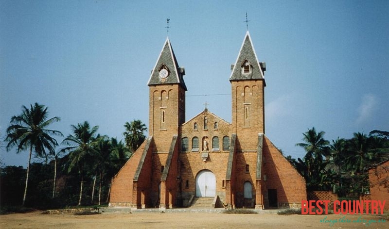
Christianity is the majority religion in the Democratic Republic of the Congo, followed by about 80% of the population. Denominations include Roman Catholic 50%, Protestant 20% and Kimbanguist 10%. Muslims (mainly Sunni) represent 10% of the population, others (including syncretic sects and indigenous beliefs) account for 10%, according to the CIA World Factbook.
Overview of Democratic Republic of the Congo
Officially name: Democratic Republic of the Congo
Capital: Kinshasa
Largest city: Kinshasa
Official language: French
Government: Semi-presidential republic