Burkina Faso
SHORT INFORMATION
Overview of Burkina Faso
Officially name: Burkina Faso
Capital: Ouagadougou
Largest city: Ouagadougou
Official language: French
Government: Semi-presidential republic
FOOD AND BEVERAGES
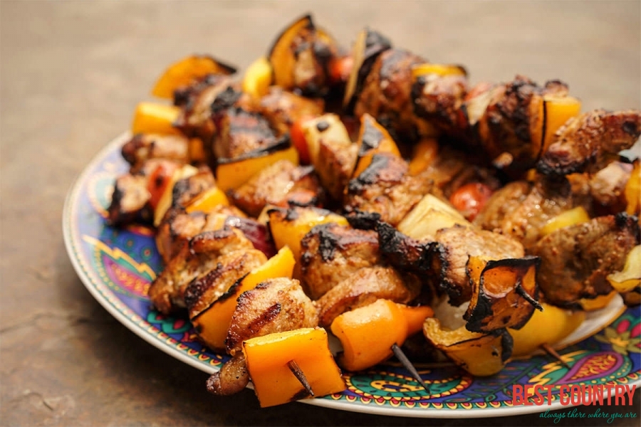
Burkinabe cuisine
Burkinabe cuisine, the cuisine of Burkina Faso, is similar to the cuisines in many parts of West Africa, and is based on staple foods of sorghum, millet, rice, fonio, maize, peanuts, potatoes, beans, yams and okra.